| Area | Hatteras/Cape Lookout, Cape Lookout/Cape Fear, Cape Fear/Murrell’s Inlet, Murrell's Inlet/Charleston, Charleston/Beaufort SC, Savannah/Beaufort SC |
|---|
“Nav-Unique” SD Cards
$259.99
Nav-Unique is Maps Unique’s Waypoints and Map Data for your GPS
»Ready-to-Use: Comes with a Mini SD Card and Standard SD Card Adaptor.
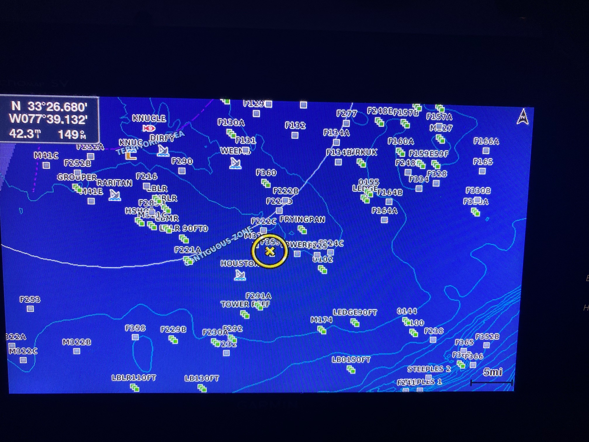
»Universal Compatibility: The SD card is pre-formatted to seamlessly work with all popular GPS units, such as Garmin, Simrad, Ray-Marine, Furuno, and more.
»Double the Coverage: Each SD card covers 2 large geographic areas, giving you extensive data without the need for multiple cards.
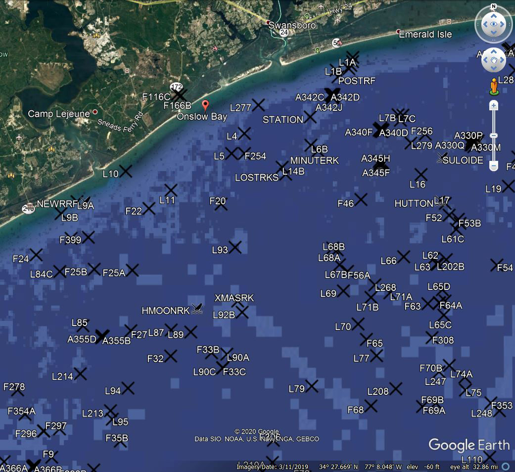
»Easy Navigation: View our data on your GPS/Chartplotter, including over 35 years of research and information on natural bottoms, artificial reefs, wreck sites, and familiar place names.
»Detailed Insights: Each Waypoint is accompanied by a comprehensive description and a comment about each habitat such as water depth, type of structure, site identification.
»Perfect Companion: Designed to complement your hardcopy maps, with unique data that correspond seamlessly to map site numbers.
»Support: Printed User Guide included or call Maps Unique 910-233-1931
»There are 6 different areas to choose from…
- Hatteras/Cape Lookout 36°30 to 33°40 (Oregon Inlet, NC thru Swansboro, NC) 1,805 Waypoints
- Cape Lookout/Cape Fear 35°00 to 33°05 (Beaufort, NC thru Carolina Beach, NC) 2,027 Waypoints
- Cape Fear/Murrell’s Inlet 34°33 to 32°28 (New River Inlet, NC thru Georgetown, SC) 2,404 Waypoints
- Murrell’s Inlet/Charleston 34°00 to 31°43 (Southport, NC thru Charleston, SC) 2,453 Waypoints
- Charleston/Beaufort 33°05 to 31°43 (Charleston, SC thru Edisto River, SC) 1,238 Waypoints
- Beaufort/Savannah 32°41 to 30°58 (Beaufort, SC thru St. Simon, GA) 1,504 Waypoints


